
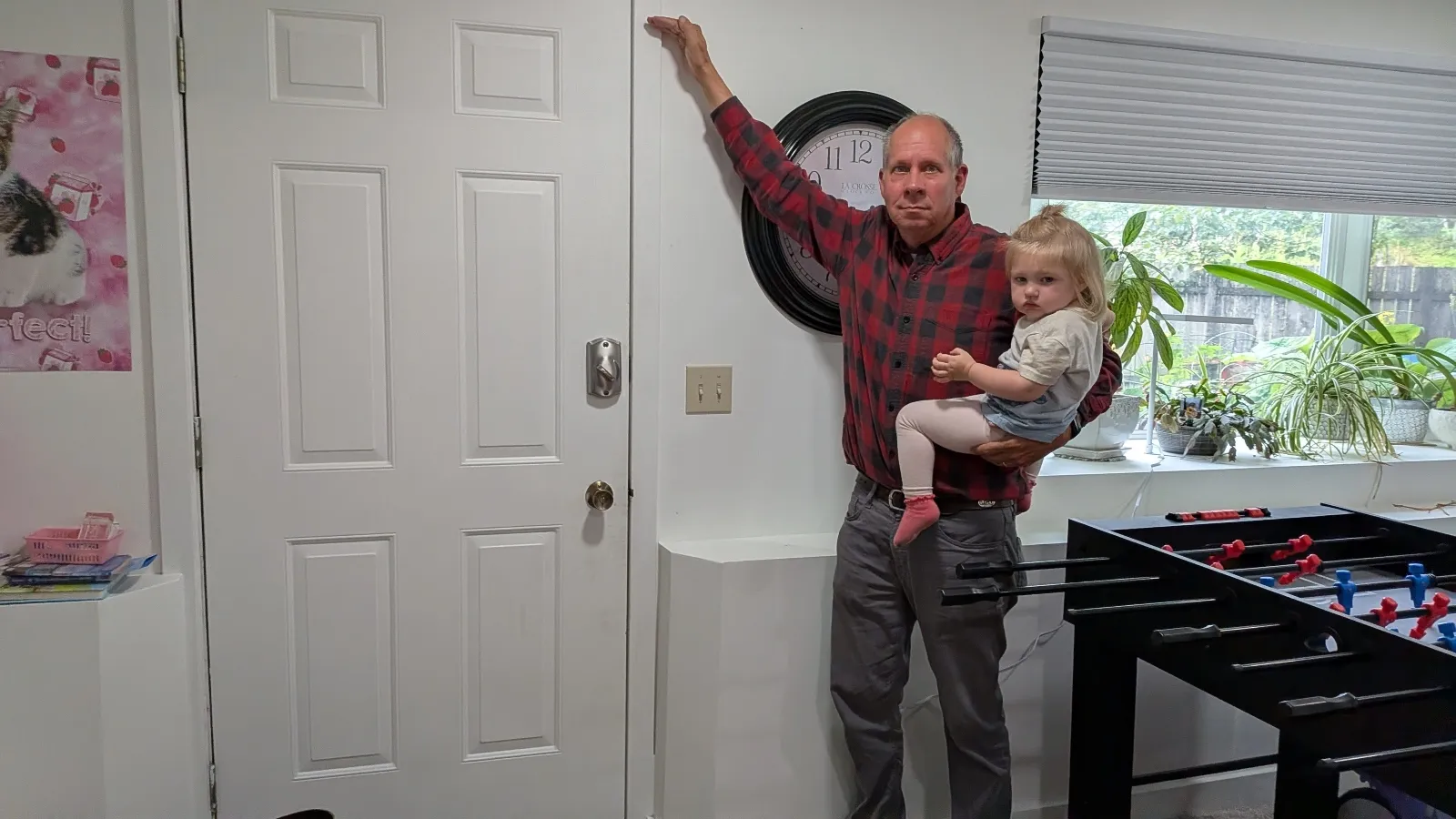
Two years ago, John Lowrey woke to the deafening roar of a landscape transformed. The 65-year-old retiree, a resident of Juneau’s Mendenhall Valley, found his home under siege as a three-foot wave of glacial meltwater surged through his property, tearing the basement door from its hinges and turning his residence into a casualty of a rapidly warming climate. For Lowrey and thousands of other residents in Alaska’s capital, the traumatic event was not a singular anomaly but the beginning of a terrifying new annual ritual. As the Mendenhall Glacier retreats, the phenomenon of "glacial outburst floods"—locally known as jökulhlaups—has transitioned from a rare geological curiosity into an existential threat to the city’s residential infrastructure.
The Science of Suicide Basin
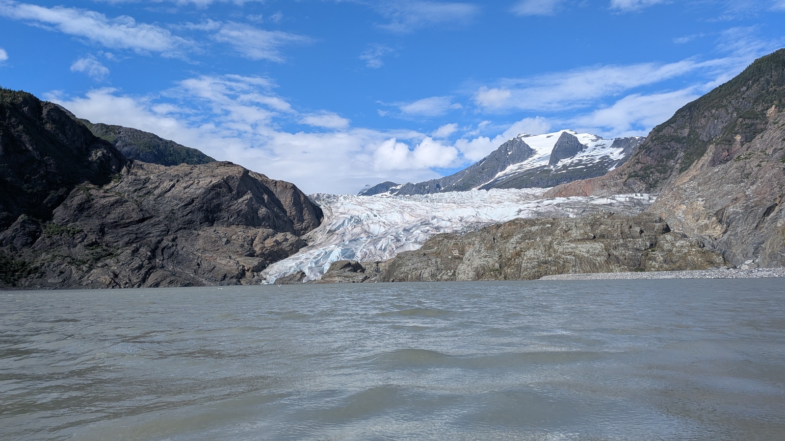
The geological engine driving these disasters is located in a high-altitude depression adjacent to the Mendenhall Glacier known as Suicide Basin. As global temperatures rise, Alaska is warming at a rate two to three times higher than the global average, leading to accelerated ice melt. This meltwater, combined with seasonal precipitation, collects in the basin. The glacier acts as a massive, unstable dam, holding back billions of gallons of water.
When the water level reaches a critical threshold, the pressure becomes sufficient to lift the ice or force water through subglacial channels. The resulting release is catastrophic. During a major outburst, the basin can discharge upwards of 15 billion gallons of water—a volume equivalent to roughly 22,000 Olympic-size swimming pools—directly into the Mendenhall River. This torrent does not merely rise; it rushes with enough force to sweep homes off their foundations, destroy infrastructure, and coat entire neighborhoods in thick layers of glacial silt and debris.
A Chronology of Escalation
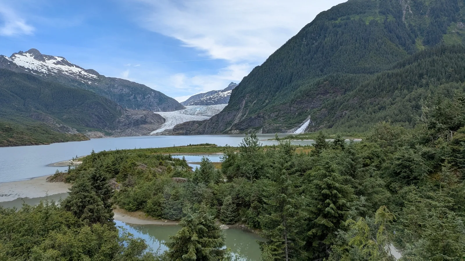
The threat to Juneau has evolved rapidly over the past decade and a half. While the Mendenhall Valley first experienced minor flooding in 2011, the scale of these events remained relatively manageable for several years. Scientific monitoring was limited, and many residents viewed the flooding as a "100-year event"—a rare disaster that would not realistically recur within their lifetimes.
The situation shifted dramatically in 2023. That year, the Mendenhall River surged to a record-breaking height of nearly 15 feet. The flooding destroyed roughly two dozen homes and caused millions of dollars in property damage. The following year, the destruction was even more widespread, with nearly 300 homes sustaining damage as the river breached its banks once more. By 2025, the flooding had become a predictable, yet no less devastating, summer occurrence. Experts now confirm that these outbursts are expected to continue annually for decades as the glacier continues its retreat, creating a persistent, high-pressure environment in the basin.
The Data-Driven Defense
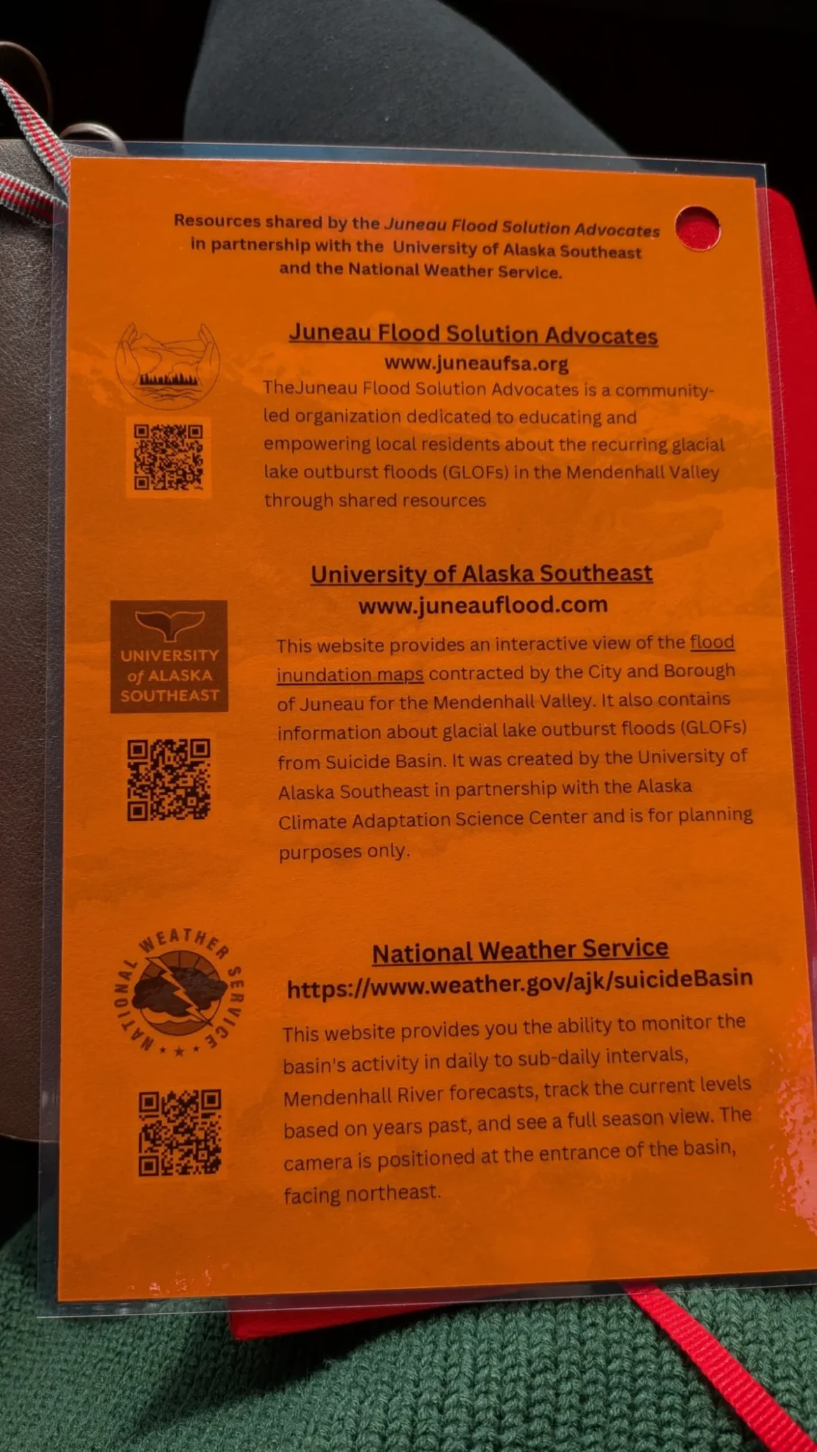
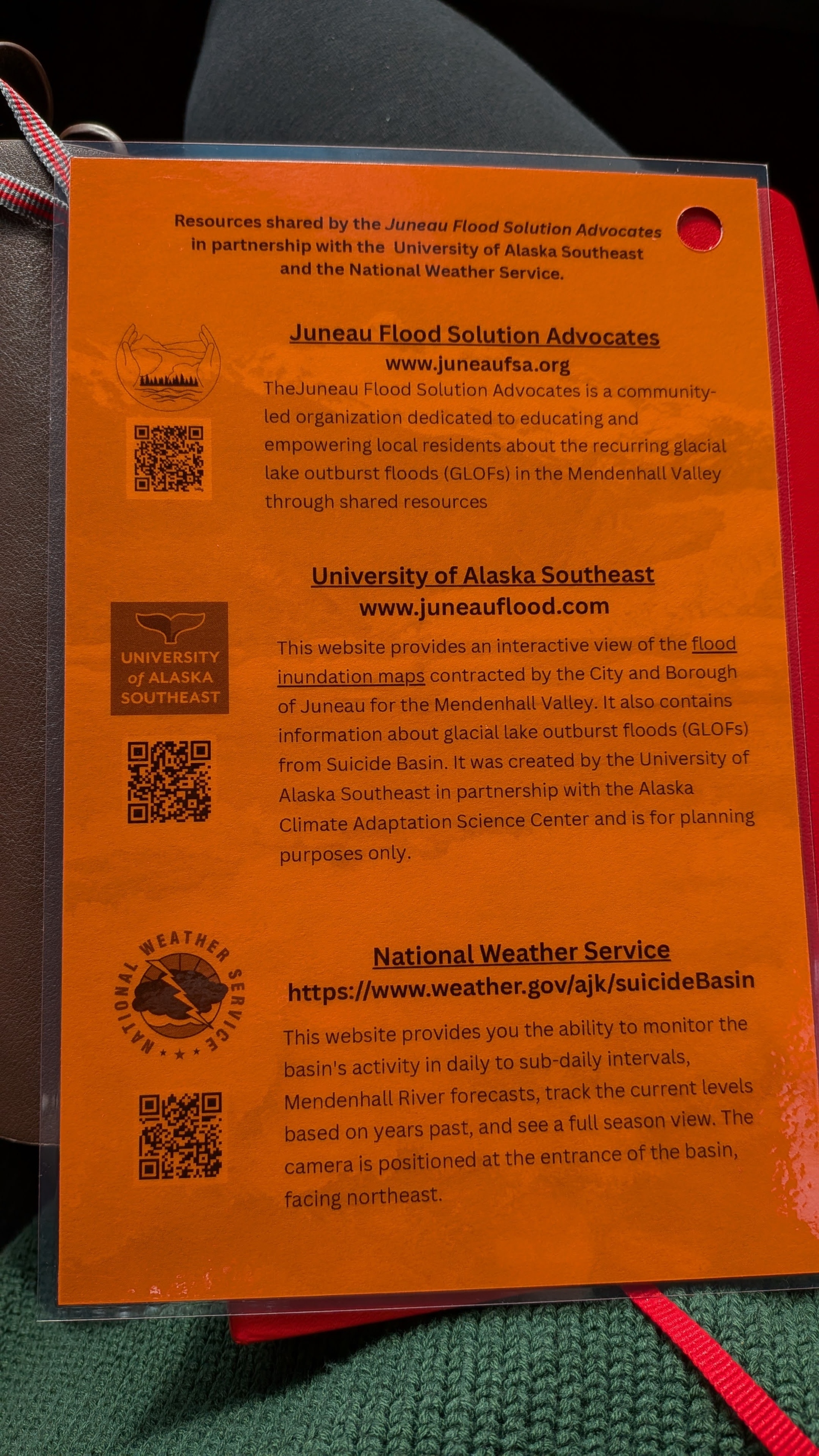
In the face of an unpredictable, recurring disaster, the city of Juneau has turned to high-tech adaptation. The centerpiece of this strategy is an online flood dashboard, launched in 2025, which serves as a vital bridge between complex hydrological data and public safety. Developed through a collaboration between the University of Alaska Southeast, the Alaska Climate Adaptation Science Center, and municipal officials, the dashboard translates intricate sensor data into actionable information for residents.
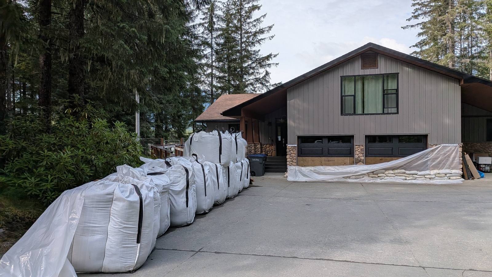
The tool provides real-time monitoring of water levels in Suicide Basin and the Mendenhall River. By tracking how rainfall and temperature spikes affect the basin, the system can predict the timing and intensity of a potential flood with remarkable accuracy. This lead time—often measured in hours—has become the difference between a family losing everything and a family successfully mitigating damage by elevating belongings, installing barriers, or evacuating the premises. In 2024 alone, over 15,000 users accessed the dashboard, signaling a shift in public consciousness: residents are no longer passive victims of the glacier but informed participants in their own survival.
Engineering a Resilient Future
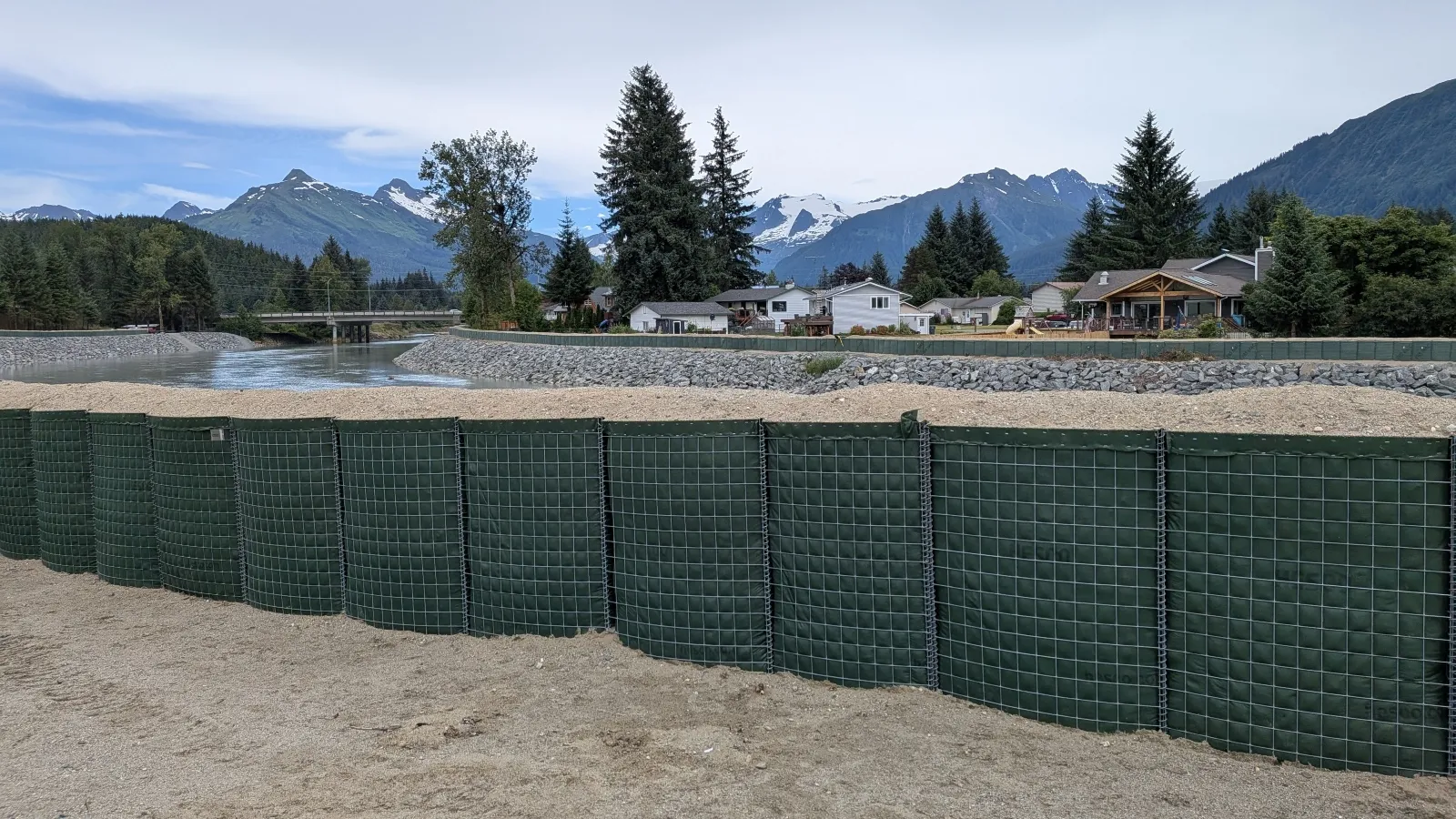
The city’s response has expanded beyond information technology into physical fortification. In collaboration with the U.S. Army Corps of Engineers, Juneau has installed approximately six miles of Hesco barriers along the Mendenhall River. These modular, fabric-lined, wire-mesh baskets—filled with sand and gravel—are designed to hold back the force of the glacial surges.
Nate Rumsey, deputy director of engineering and public works for Juneau, notes that the barriers are a stopgap measure in a much larger, more difficult conversation about the viability of living in the valley. "Another severe flood could put the viability of our community at risk," Rumsey stated. The physical presence of these green, army-style barriers snaking through backyards and near public schools serves as a constant reminder of the encroaching river. While effective at diverting water during recent events, they also underscore the reality that the valley is being fundamentally reshaped by climate change.
The Human Cost of Adaptation
For residents like Alyssa Fischer, a 33-year-old single mother, the flood is not just a statistical event but a life-altering experience. When her street turned into a river at 2 a.m., she was forced to carry her two young children through freezing, neck-high water, while scrambling to secure her pets. The trauma of the experience, combined with the loss of property, has forced a permanent change in how she views her environment.
Fischer, like many of her neighbors, now speaks the language of glaciology and hydrology. She tracks rainfall, understands cubic-feet-per-second flow rates, and monitors the dashboard hourly during the summer months. This vigilance is a form of survival. It represents the psychological burden of living in a "buyer’s market" where home values have plummeted and the threat of total loss remains a constant, looming reality.

Broader Implications for Global Climate Resilience
The crisis in Juneau is not an isolated incident. Glacial outburst floods are increasingly common in regions such as the Himalayas, the Alps, and Iceland, where melting ice caps threaten downstream communities. The "Juneau Model"—characterized by the fusion of high-resolution scientific data, transparent public communication, and proactive community engagement—offers a blueprint for how other regions might cope with recurring, climate-driven disasters.
Eran Hood, an environmental scientist who helped pioneer the dashboard, suggests that the lessons learned in Alaska are applicable to many other climate-vulnerable areas. "You can do the same thing with hurricanes and storm surges," Hood explained. "You could do the same thing with floods on rivers like the Mississippi." The core objective, according to Hood, is to empower citizens with the knowledge required to make life-saving decisions when traditional disaster response might be too slow or overwhelmed.
The Path Forward
As summer progresses in Alaska, the mood in the Mendenhall Valley is one of cautious, perpetual readiness. The "For Sale" signs that dot the neighborhood highlight a community in flux, with some residents choosing to leave while others invest in deeper, more permanent modifications to their homes, such as raising foundations or building secondary flood walls.
The scientific consensus is sobering: the glacier will continue to melt, the basin will continue to fill, and the river will continue to rise. Juneau has successfully transitioned from a state of shock to a state of systemic preparation, but the long-term future of the valley remains an open question. For the 32,000 residents of the state capital, the challenge is no longer just about surviving the next flood—it is about determining how a community can persist when its very geography has become its greatest adversary. Through data, engineering, and the resilience of its citizens, Juneau is attempting to answer that question one flood warning at a time.
